
A Life of Science: A Series by New Scientists
The melting snow under my boot collapses and my stomach tightens as I catch my weight with my ice axe. Focus: Re-kick in the left crampon, then the right. Plunge down the ice axe. Inhale. Exhale. “Zero!”
The shout yanks me out of my mantra. I halt, scratched aluminum carabineer on my chest harness rising and falling as my lungs attempt to draw more oxygen out of the thin air. I brace myself–waiting for Nick, who is attached to the other end of my rope–to plunge into the crevasse as he crosses the snow bridge.
I’m melting. My black jacket, gloves, and hat absorb the intense midday sun at 13,000 feet. Sweat accumulates on my face, forming droplets that gather on my chin and beard before falling to the snow at my feet.
“Clear!” Nick shouts.

It’s time for me to cross the snow bridge over the bergschrund. As I approach the crevasse, I wonder if the snow will collapse. I lean over the edge to peer into the deep crack in the livid glacial ice. I pick my way across, body tense and axe poised to jam into the ice if the bridge fails.
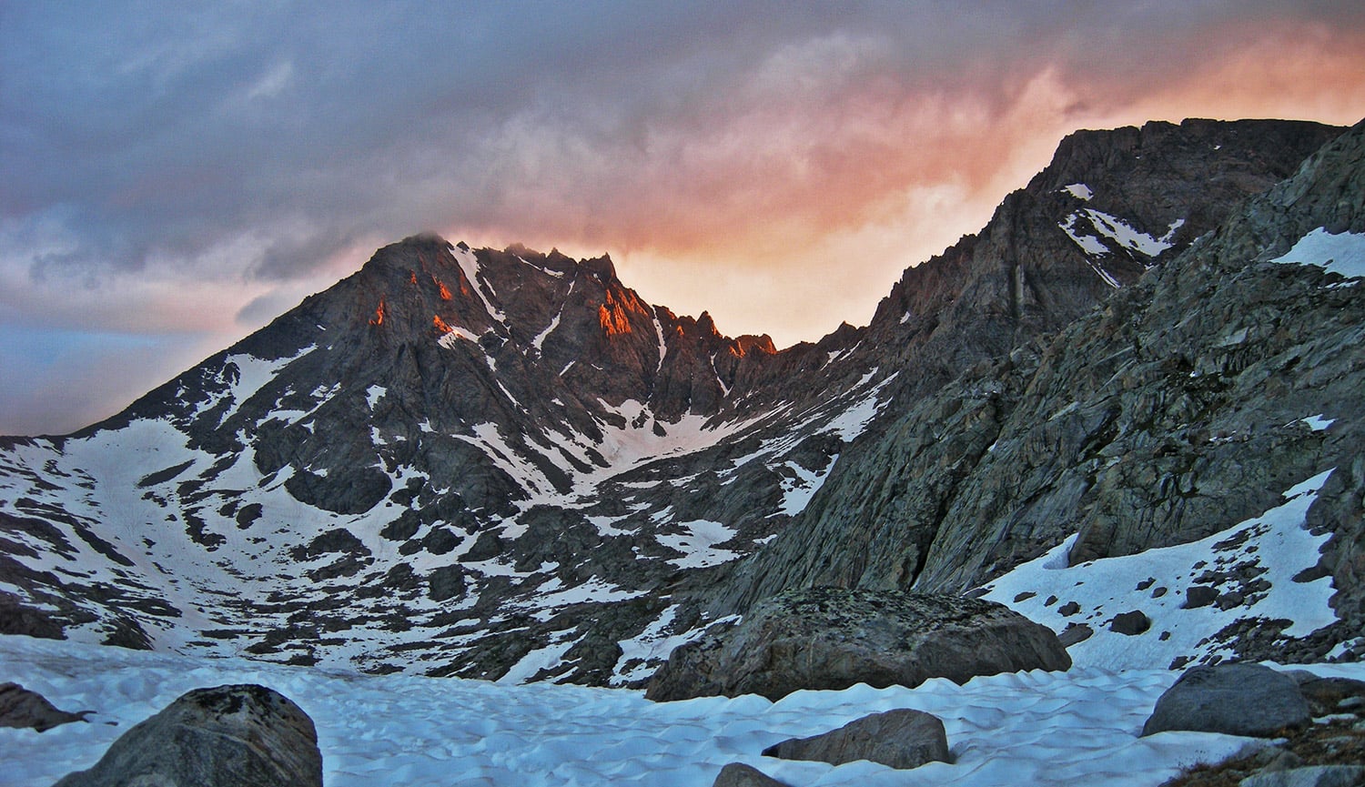
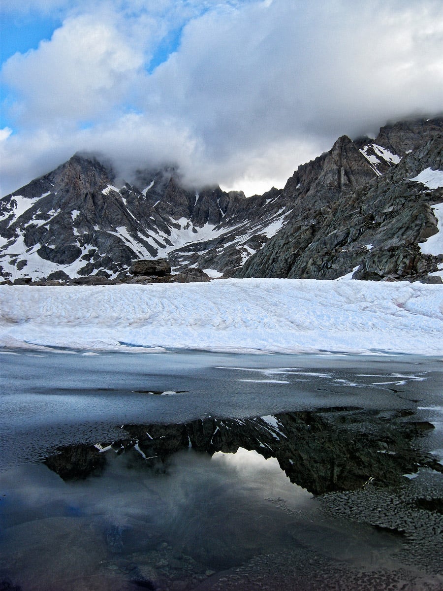
The snow bridge is a fragile, transient fragment of the landscape; it will likely vanish by the end of August if it doesn’t fall apart under my boots. Likewise, all the glaciers in the area are disappearing. The drier winters, intense sun, and increasingly warm summer winds melt these reservoirs of ice more quickly than they can gain snow in the winter.
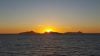
I am backpacking in the Wind River Range of Wyoming, where glaciers have shrunk to nearly half their historical size in the last 50 years, with a major acceleration in the pace of melting in the last 20. The retreating ice on nearby Grasshopper Glacier exposes grasshopper mandibles and leg segments frozen up here hundreds of years ago.
This change in the landscape reveals more than ancient bugs and affects more than just mountaineers in the Rockies, however. Farmers and ranchers depend on melting snow and ice in the dry, late spring and early summer, delivering much-needed water to rivers and reservoirs. And the problem is compounded as the snow and ice melt earlier and earlier, exposing dark rock that absorbs heat, further accelerating the warming and melting.
As a geologist and climatologist, I study past and future climate using earth system models and lake sediments. I want to know how the warming and melting I experience here in the Winds will affect river runoff and water resources. The Southwestern U.S. is already experiencing a decade-long drought. How common are these types of droughts and what triggers them? Will these extreme dry periods will be the new normal in the future?
With climate models, I can simulate a warmer ocean and atmosphere, melting glaciers and ice caps, and shifting rains to give some idea about the fate of different drought-prone regions around the globe like the Southwestern U.S. But first I need to make it across this icy bridge.
Success.

The bridge behind me, I make a final push up to the knife-edge col between Helen and Dinwoody Glaciers. I stop behind a black rock outcrop mottled with patches of lichen, bright green and orange, and unfold the topographic map against the wind. Blue lines denote the edges of the glaciers from the last major map update back in 1991. Although the black contours outlining the turrets and cliffs of the peaks on the map match well to what I see in the distance, the blue contours tell a different story: Helen and Dinwoody extend far less than the lines on the map. They have retreated hundreds of feet in the last 20 years.
My favorite part of the Wind River Range is disappearing before my eyes. I stare intently at the shifting landscape, trying to imprint the already fading image in my memory. I had not expected the emotional toll of this climb to match the physical toll.
I fold the map and tuck it into a pocket, sit on the edge of the col, then yell “Clear!” down the rope line. As gravity accelerates my descent towards the base of Dinwoody I lever my ice axe into the snow to slow my slide and consider the ice, slipping away beneath me.
 Luke Parsons is finishing a Ph.D. in geosciences at the University of Arizona, where he studies past drought variability using lake sediments and climate model simulations. In addition to his work as a researcher, Luke is also a NOLS instructor who enjoys backpacking, climbing, and taking panoramic landscape photographs.
Header photo of alpenglow on Fremont Peak by Luke Parsons.